Barri per a vianants
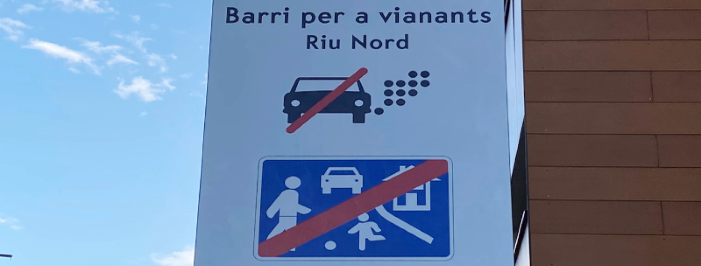
Imatge Barris per a vianants
Public sector
Neighbourhood
Active

Objectius del projecte

Illes urbanes a la ciutat on es busca garantir la prioritat de la ciutadania, la seva salut i la sostenibilitat, amb l’objectiu de millorar la seva qualitat de vida. Obeeix a un nou model dins del Pla de Mobilitat Urbana i Sostenible de l’Ajuntament de Santa Coloma de Gramenet, on el model de mobilitat prioritza el vianant. 

Descripció del projecte

Des de l’Ajuntament de Santa Coloma de Gramenet es decideix delimitar zones especials —que, en altres ciutats, es coneixen com superilles— on es restringeix la circulació dels vehicles privats i la velocitat perquè les persones es puguin desplaçar a peu amb la màxima seguretat, accessibilitat i comoditat possibles. En aquestes zones es prioritzen els desplaçaments de les persones i l’ús de les bicicletes, de manera segura, així com el foment del transport públic, per sobre del vehicle privat. 

A partir de la pacificació de l’interior dels barris, es pretén assolir que la xarxa veïnal aculli el trànsit propi del barri (el que té origen o destí al mateix barri) i, amb la reducció del trànsit interior, recuperar el carrer per al veïnat com a lloc d’esbarjo, gaudi i relació social. 

Aquest canvi de model posa per davant les persones i deixa de banda la clàssica planificació que prioritza la circulació de vehicles. 

Per tal de definir els barris per a vianants s’ha actualitzat la jerarquia viària: 

  • Xarxa viària principal o secundària, formada pels carrers més importants i estructurants pel que fa a la circulació (que conformaran el perímetre del barri per a vianants).  
  • Xarxa veïnal, formada pels carrers o trams de carrers que no pertanyen a la xarxa viària principal o secundària (es troben a l’interior dels barris). 

Àmbits d’intervenció

Sustainable mobility

The transport of people and goods is one of the main sources of GHG emissions and other pollutants in cities. Therefore, it is essential to promote a change in the current mobility model, which is heavily dependent on fossil fuels, towards eco-mobility, accompanied by a more rational use of large infrastructure.

Land use and urban model

Given the climate emergency, we must move towards an urban model that prioritises residents’ well-being and the protection of biodiversity. Cities must adopt a resilient model that occupies land while taking the climatic variable into account, with balanced and connected neighbourhoods that promote short distances and eco-mobility, and with quality green public spaces.

Multimodality and active mobility

To achieve more efficient and healthier mobility, it is key to have a structured metropolis through active mobility networks (pedestrian and bicycle), interchanges and new centralities, together with a wide and coordinated array of sustainable modes of transport that allow residents to combine different means when moving around each day.

Spatial and urban planning

Planning is a key tool for ordering and regulating local land use and activities and is therefore the ideal instrument for achieving a city model that is consistent with how people inhabit it. Planning must integrate residents’ needs, rethink infrastructure and help to promote sustainable modes of transport.

Urban distribution of goods

The great boom experienced by electronic commerce in recent years has confirmed the need to coordinate the urban distribution of goods, optimising movements, compacting loads, organising logistics and promoting the use of less polluting modes of transport.

Facilities and “neighbourhood effect”

The place where people are born and live very clearly marks their possibilities for development. Actions to improve the environment, both in physical and social terms, are essential for greater territorial balance and for providing opportunities of progress for all.

Per saber-ne més

Contacte

st.colomag@gramenet.cat

Department of Urbanism of Santa Coloma de Gramenet 

Plaça Olimp, 3

Santa Coloma de Gramenet (08921)

93 462 40 00